18 local governments in Cross River state and their headquarters
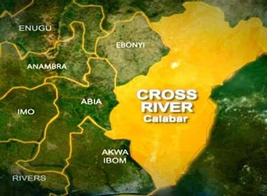
Do you know about 18 local government in Cross River state and their headquarters? If you are at a loss with the answer, then this post is for you. Read on and learn more about Cross River state and its local governments.
Source: Twitter
In this article, you will find the following information:
- Abi Local Government Area
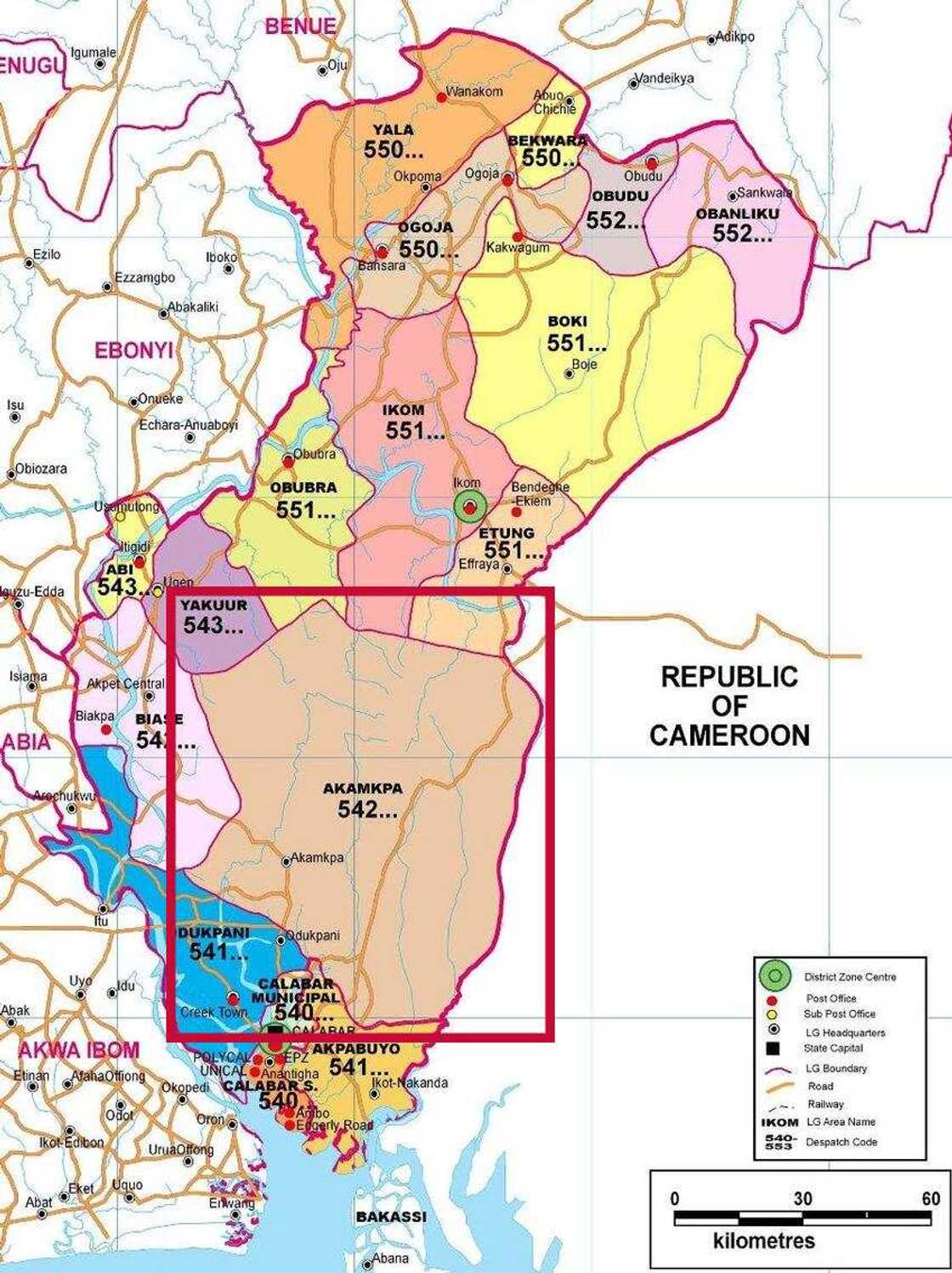
- Akamkpa Local Government Area
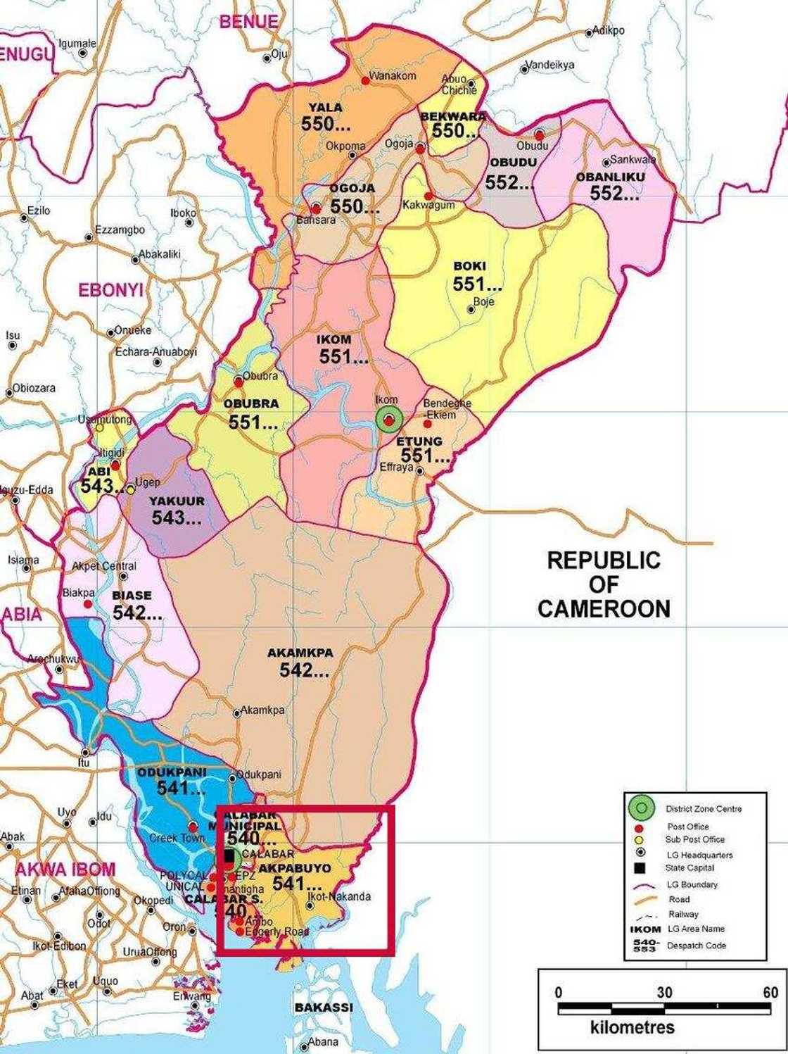
- Akpabuyo Local Government Area
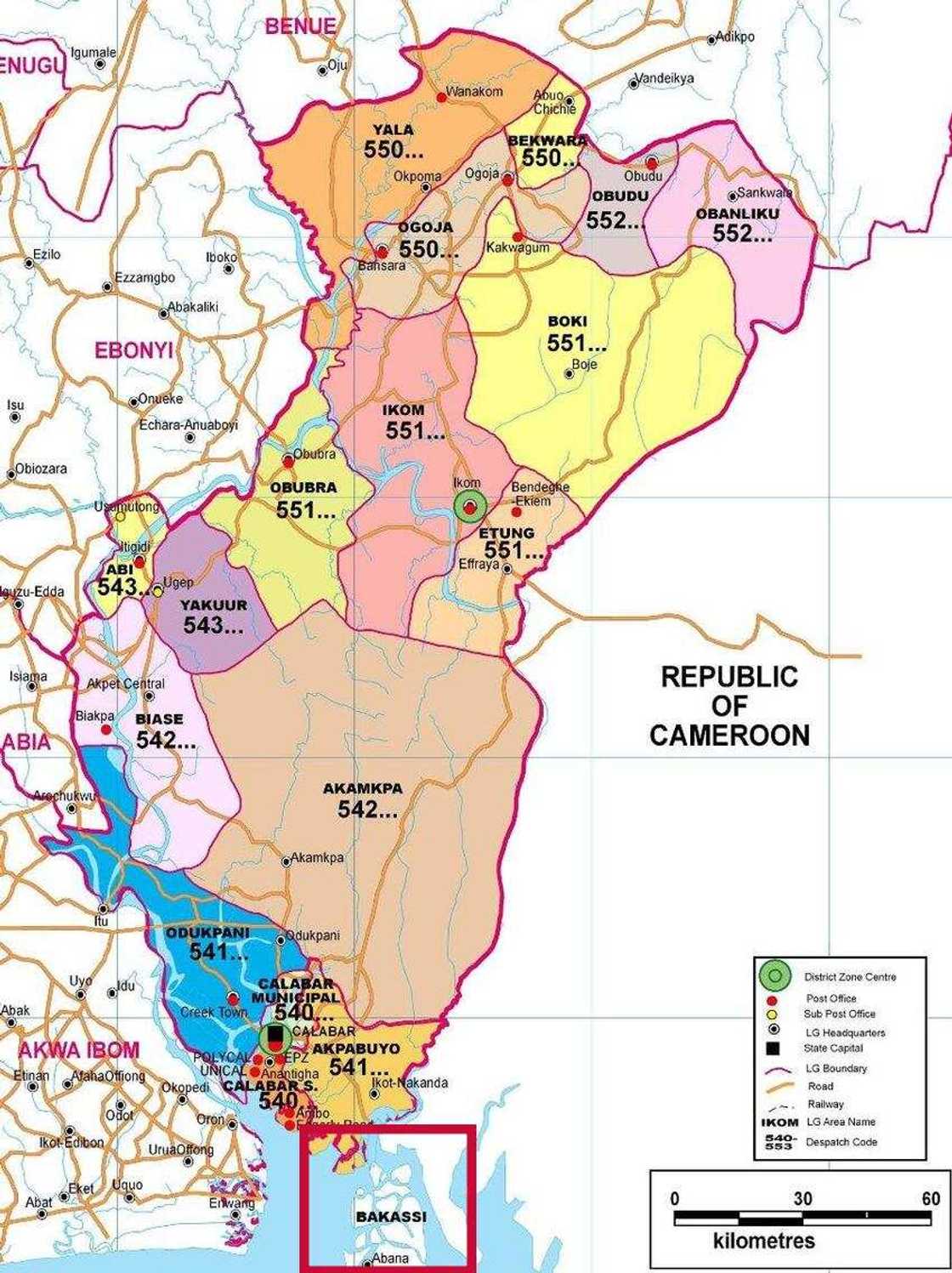
- Bakassi Local Government Area
- Bekwarra Local Government Area
- Biase Local Government Area
- Boki Local Government Area
- Calabar Municipal Local Government Area
- Calabar South Local Government Area
- Etung Local Government Area
- Ikom Local Government Area
- Obanliku Local Government Area
- Obubra Local Government Area
- Obudu Local Government Area
- Odukpani Local Government Area
- Ogoja Local Government Area
- Yakurr Local Government Area
- Yala Local Government Area
Cross River state, Nigeria
State logo says "The Nation`s paradise". Is it really true? What do we know about this land? Next, we will tell you about Cross River state, its capital, local governments, and their headquarters. Here you will find the answer to all your questions including "how many local government in Cross River state?".

Read also
"Incoming vice president 2027": Reactions as Obi meets prominent Kano APC chieftain, photos surface
1. Abi Local Government Area
- Local Government headquarter: Itigidi
- Short description: Abi Local Government Area has it administrative seat located in Itigidi, and comprises of other towns such as Adadama, Afafanyi, Igonigoni, Ekureku, Imabana, Usumutong, Abuego, Itigidi, Ebom, Ediba/Anong.
- Business information: Abi Local Government Area falls under Cross River State Central Senatorial District, it is well known for its granite deposits.
- Total population (2006): 144,317
- Time zone: UTC+1 (WAT)
- Number of districts: 10 (Adadama, Afafanyi, Igonigoni, Ekureku, Imabana, Usumutong, Abuego, Itigidi, Ebom, Ediba/Anong)

Source: Depositphotos
2. Akamkpa Local Government Area
- Local Government headquarter: Akamkpa
- Short description: Akamkpa Local Government Area is one of the local government areas in Cross River state Nigeria with its administrative headquarters situated in Akamkpa town.
- Total area: 5,003 km2
- Total population (2006): 151,125
- Time zone: UTC+1 (WAT)
- Postal code: 542
- Number of districts: 12 (Egup-Ipa, Ehom, Erei, Iko Ekpe-Rem, Ikpai, Netin, North West (Ito), Oban, Ojuk, Ubang-Hara, Umon, Uyanga)
Source: Depositphotos
3. Akpabuyo Local Government Area
- Local Government headquarter: Ikot Nakanda
- Short description: Akpabuyo Local Government Area headquarters is located in the town of Ikot Nakanda, and comprises of several towns which include Atimbo, Eneyo, Ikang, Idundu, Ikot Edem Odo, and Ikot Eyo.
- Business information: Akpabuyo Local Government Area has a postal code of 541 and was created as a local government of its own in 1991. The LGA falls under the Cross River South Senatorial District and forms a federal constituency alongside Bakkasi LGA and Calabar South. The local government area shares a boundary with Akampa LGA, the Republic of Cameroon, Bakassi LGA, and Calabar South to the North, East, South, and West respectively.
- Total area: 1,241 km2
- Total population (2006): 271,395
- Time zone: UTC+1 (WAT)
- Number of districts: 7 (Atimbo, Eneyo, Ikang, Idundu, Ikot Edem Odo, Ikot Eyo, Ikot Nakanda)
Source: Depositphotos
4. Bakassi Local Government Area
- Local Government headquarter: Ikang
- Short description: Bakassi Local Government Area has its administrative headquarters in Ikang and consists of other towns such as Abana, Akpankanya, Akwa, Amoto, Ambai Ekpa, Archibong, Atai, Ema, Efut Iwang, Ekpot Abia, and Odiong.
- Business information: Bakassi Local Government Area mainly consits of the Oron people and lies between the Cross River estuary. The LGA was created on December 12, 1996, from Akpabuyo Local Government Area and is bounded in the East by the Republic of Cameroon, in the South by Equatorial Guinea and the Bight of Bonny, in the West by the Cross River Estuary, and North by Akpabuyo Local Government Area.
- Time zone: UTC+1 (WAT)
- Number of districts: 10 (Abana, Akpankanya, Akwa, Amoto, Ambai Ekpa, Archibong, Atai Ema, Efut Iwang, Ekpot Abia, Odiong)
Source: Depositphotos
5. Bekwarra Local Government Area
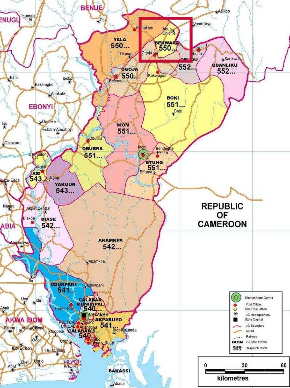
- Local Government headquarter: Abuochiche (or Abuo Chiche)
- Short description: Bekwarra LGA is located in northern Cross River State.
- Business information: The Bekwarra government councils heads the public administrations in Bekwarra local government area which is made up of ten electoral wards represented by ten councilors including the chairman.
- Total area: 306 km2
- Total population (2006): 105,822
- Time zone: UTC+1 (WAT)
- Postal code: 550
- Number of districts: 13 (Abuochiche, Afrike, Eastern Yala, Ekajuk, Gabu, Gakem, Mbube, Nkum, North Ukele, Ogoja Urban, South Ukele, Western Yala, Yache)
Source: Depositphotos
6. Biase Local Government Area
- Local Government headquarter: Akpet Central
- Short description: Biase Local Government Area counts as one of the active LGAs of the state located in the town of Akpet Central with its area council comprising of towns and villages of Abanwan, Afono, Edu/Elu, Egbor, Etana, Ipene, Ibini, Obum, Umuolor, and Urugbam.
- Total area: 1,310 km2
- Total population (2006): 169,183
- Time zone: UTC+1 (WAT)
- Postal code: 542
- Number of districts: 10 (Abanwan, Afono, Edu/Elu, Egbor, Etana, Ipene, Ibini, Obum, Umuolor, Urugbam)

Read also
Tinubu announces fresh appointment, makes clarification on Yahaya Bello Wurno’s new mandate

Source: Depositphotos
7. Boki Local Government Area
- Local Government headquarter: Boje
- Short description: Boki LGA counts as one of the serving LGAs in the state with its administrative center in Boje town, comprising the districts of Abawyum, Akpara-Bong, Boje, Eastern Boki, Ikom (Rural), Nde, Northern Etung, Nta, Ofutop, Osokom, and Southern Etung.
- Chairman: Hon Abubakar Ewa
- Total area: 2,771 km2
- Total population (2006): 186,611
- Total density: 67.3/km2
- Time zone: UTC+1 (WAT)
- Number of districts: 11 (Abawyum, Akpara-Bong, Boje, Eastern Boki, Ikom (Rural), Nde, Northern Etung, Nta, Ofutop, Osokom, Southern Etung)

Source: Depositphotos
8. Calabar Municipal Local Government Area
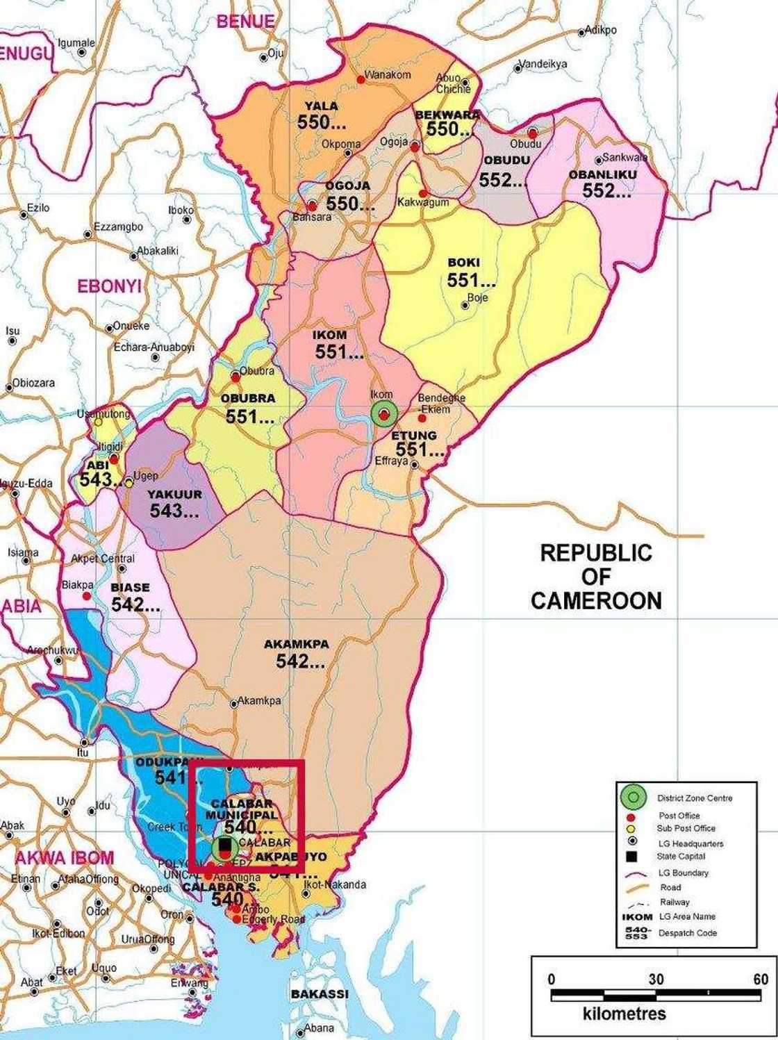
- Local Government headquarter: Calabar
- Short description: Calabar Municipal is a Local Government Area with its headquarters in the city of Calabar and is situated in the Southern Senatorial District of the state, it consists of ward 1- 10.
- Business information: Calabar Municipal Local Government Area is the headquarters of the LGA and also the capital city of the state. It is bounded in the North by Odukpani Local Government Area in the North-East by the great Kwa River. Its Southern shores are bounded by the Calabar river and Calabar South Local Government Area.
- Total area: 142 km2
- Total population (2006): 179,392
- Time zone: UTC+1 (WAT)
- Postal code: 540
- Number of districts (wards): 10 (Ward 1, Ward 2, Ward 3, Ward 4, Ward 5, Ward 6, Ward 7, Ward 8, Ward 9, Ward 10)
Source: Depositphotos
9. Calabar South Local Government Area
- Local Government headquarter: Anantigha
- Short description: Calabar South Local Government Area is located in the town of Anantigha, consisting of the major districts of Anantiga and 12 wards.
- Total area: 264 km2
- Total population (2006): 191,630
- Time zone: UTC+1 (WAT)
- Postal code: 540
- Number of districts (wards): 12 (Calabar South 1, Calabar South 2, Calabar South 3, Calabar South 4, Calabar South 5, Calabar South 6, Calabar South 7, Calabar South 8, Calabar South 9, Calabar South 10, Calabar South 11, Calabar South 12)

Source: Depositphotos
10. Etung Local Government Area
- Local Government headquarter: Effraya
- Short description: Etung Local Government Area is headquartered in the town of Effraya, consisting districts of Abia, Abijang, Agbokim, Ajassor, Bendeghe, Ekiem, Effraya, Etomi, Itaka, Mkpot/Ayuk Aba, and Nsofang.
- Total area: 815 km2
- Total population (2006): 80,196
- Time zone: UTC+1 (WAT)
- Postal code: 551
- Number of districts: 10 (Abia, Abijang, Agbokim, Ajassor, Bendeghe Ekiem, Effraya, Etomi, Itaka, Mkpot/Ayuk Aba, Nsofang)

Source: Depositphotos
11. Ikom Local Government Area
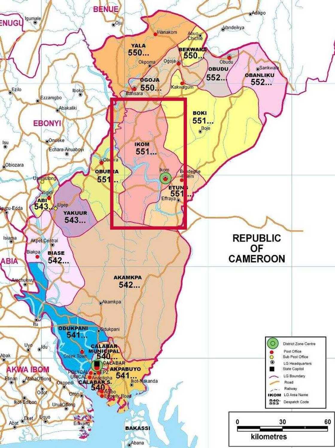
- Local Government headquarter: Ikom
- Short description: Ikom Local Government Area Area has its administrative headquarters in the town of Ikom, consisting the districts of Abakpa, Bisiri, Bojor Achibong, Calabar, Comm. Sec. Sch, Local Govt. Council, Obudu, Oguja, Okim Osabor, Okuku, and others.
- Business information: Ikom people are mainly involved in farming, they are the major producers of banana and plantain in Nigeria.
- Total area: 1,961 km2
- Total population (2006): 162,383
- Time zone: UTC+1 (WAT)
- Postal code: 551
- Number of districts: 14 (Abakpa, Bisiri, Bojor Achibong, Calabar, Comm. Sec. Sch., Local Govt. Council, Obudu, Oguja, Okim Osabor, Okuku, Scout Lane, Udama Ubug, Ukelle, Ukwel)
Source: Depositphotos
12. Obanliku Local Government Area
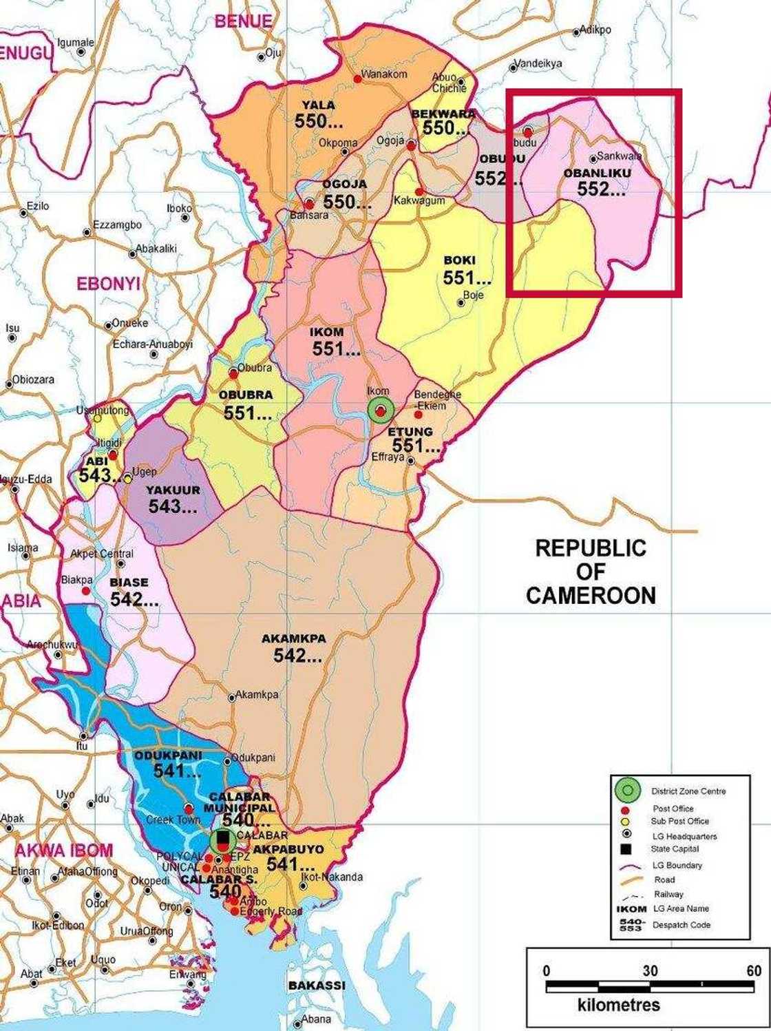
- Local Government headquarter: Sankwala
- Short description: Obanliku Local Government Area is one of the serving local government councils of the state, domiciled in the town of Sankwala, consisting of the following districts Basang, Bebi, Becheve, Bendi, Bishiri North, Bishiri South, Bisu, Busi, and Utanga.
- Business information: Obanliku local government area is one of the local government areas in Cross River state Nigeria with its administrative headquarters situated in Sankwala town. Obudu cattle ranch is situated within the area of the local government area. It is one of the biggest local government areas in Cross River state. It is located in the northeast part of Cross River state, and it is bounded to the north by Kwande local government of Benue state, to the east by the Republic of Cameroon, to the south by Boki local government area and the west by Obudu local government area.
- Total area: 1,057 km2
- Total population (2006): 110,324
- Time zone: UTC+1 (WAT)
- Postal code: 552
- Number of districts: 9 (Basang, Bebi, Becheve, Bendi, Bishiri North, Bishiri South, Bisu, Busi, Utanga)
Source: Depositphotos
13. Obubra Local Government Area
- Local Government headquarter: Obubra
- Short description: Obubra Local Government Area has its administrative headquarters in the town of Obubra, consisting of the following districts: Iyalla, Obubra Urban, Ofat (Adum), Ofodua (Adum), Ofombo-Ngha, Okom, and Osopong.
- Business information: The local government area is home to Ibrahim Babangida College of Agriculture and also home to National Youth Service Corps, Cross River State orientation camp.
- Total area: 1,115 km2
- Total population (2006): 172,444
- Time zone: UTC+1 (WAT)
- Postal code: 551
- Number of districts: 7 (Iyalla, Obubra Urban, Ofat (Adum), Ofodua (Adum), Ofombo-Ngha, Okom, Osopong)

Source: Depositphotos
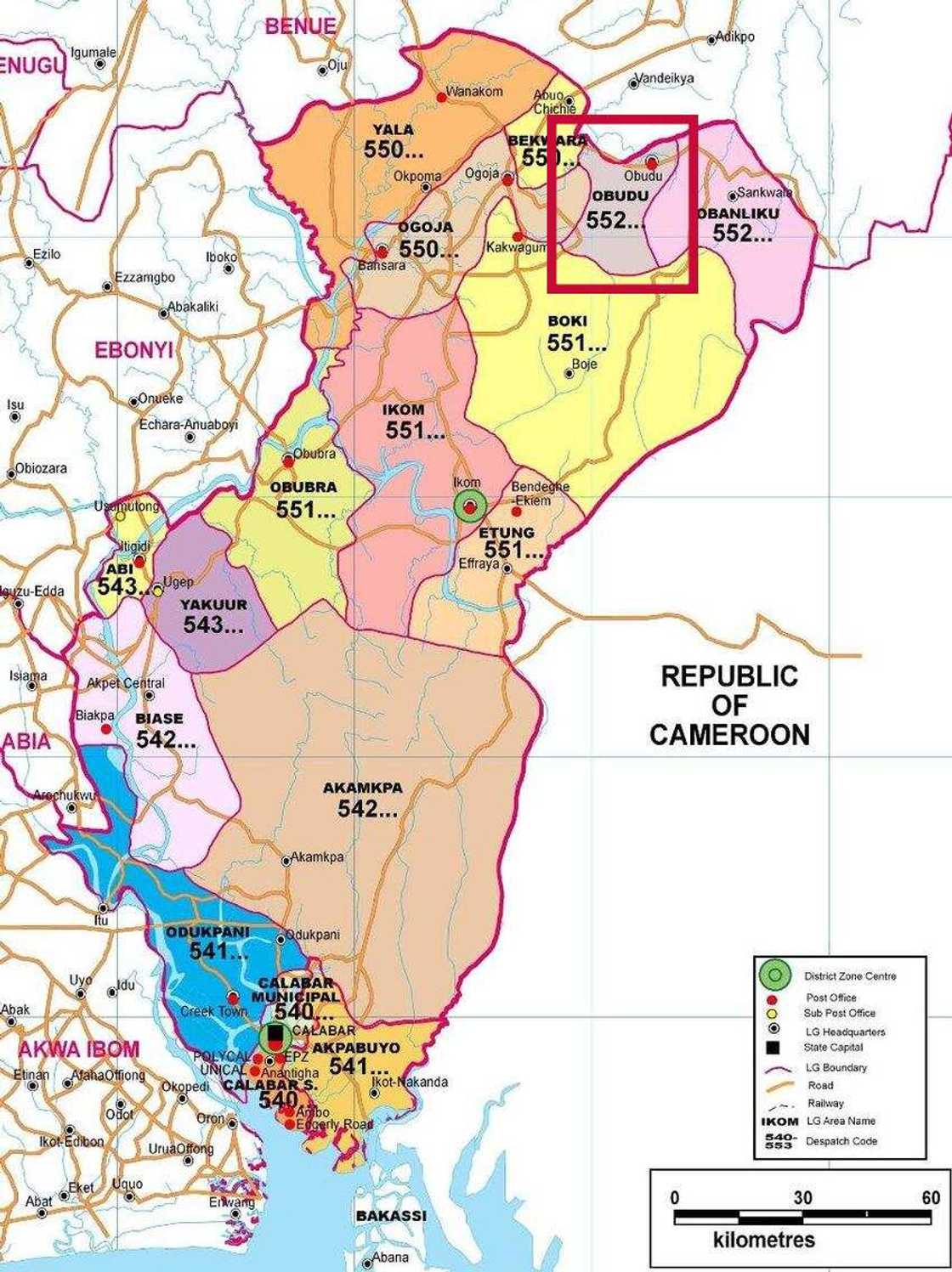
14. Obudu Local Government Area
- Local Government headquarter: Obudu
- Business information: It is a popular local government area because of the Obudu mountain race and Obudu cattle ranch situated there.
- Time zone: UTC+1 (WAT)
- Number of districts: 11 (Alege, Becheve, Bettee, North Oban-Liku, Obudu (Rura), Okpe, South Oban-Liku, Ugang, Unpe, Utanga, Utugwang)
Source: Depositphotos
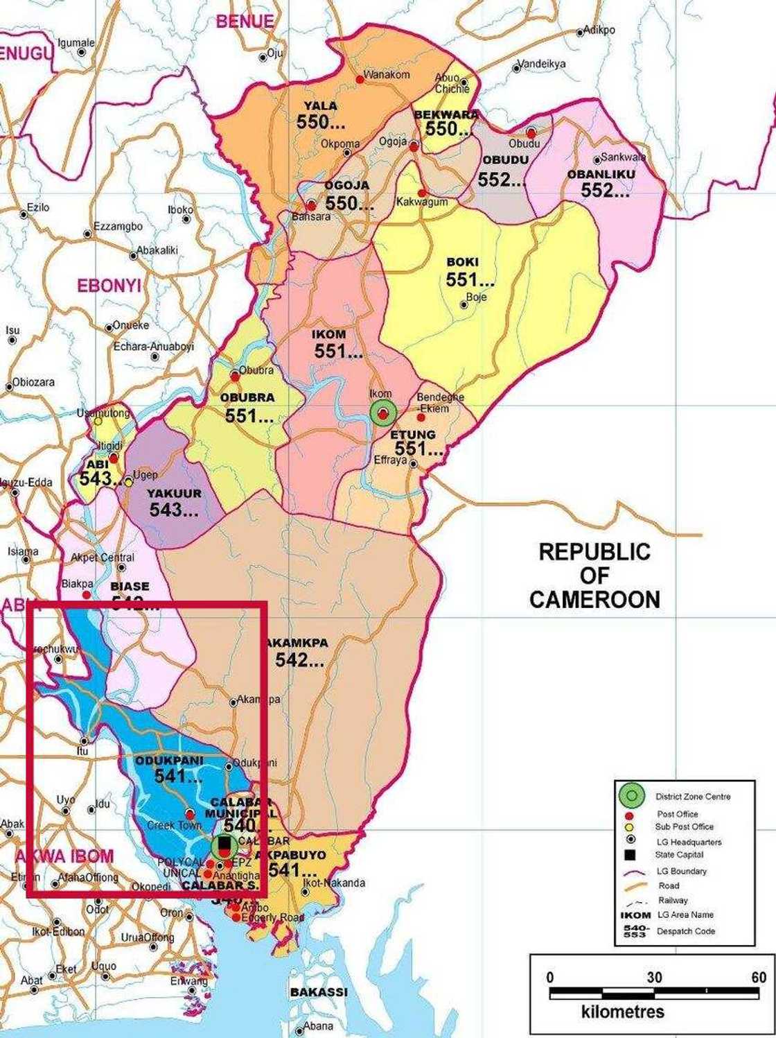
15. Odukpani Local Government Area
- Local Government headquarter: Odukpani
- Short description: Odukpani Local Government Area is one of the 18 LGAs in the state and consists of Adiabo Efut, Creek Town, Ekori/Anaku, Eniong, Eki, Obomitiat, Mbiabo, Odot, Odukpani Central, Onim, Ankiong, Ikoneto, Idere, Ukwa Ibom, Inuakpa Okoyong, and other villages.
- Time zone: UTC+1 (WAT)
- Number of districts: 20 (Adiabo Efut, Creek Town, Ekori/Anaku, Eki, Obomitiat, Mbiabo, Eniong, Odot, Odukpani Central, Onim, Ankiong, Ikoneto, Ho, Idere, Ukwa Ibom, Akpap Okoyong, Eniong Abatim, Ito, Inuakpa Okoyong, Okurikang)
Source: Depositphotos
16. Ogoja Local Government Area
- Local Government headquarter: Ogoja
- Short description: Ogoja is one of the serving local government councils of the state, domiciled in the town of Ogoja.
- Total area: 972 km2
- Total population (2006): 171,901
- Time zone: UTC+1 (WAT)
- Postal code: 550
- Number of districts: 6 (Ekajuk, Mbube East, Mbube West, Nkum Iborr, Nkum Irede, Ogoja Urban)

Read also
Wike orders fresh revocation as Shehu Sani, Uzodimma, 566 others lose Abuja lands, full list emerges

Source: Depositphotos
17. Yakurr Local Government Area
- Local Government headquarter: Ugep
- Short description: Yakurr local government area is one of the local government areas in Cross River. It has its administrative headquarters situated in Ugep town.
- Total area: 670 km2
- Total population (2006): 196,271
- Time zone: UTC+1 (WAT)
- Postal code: 543
- Number of districts: 13 (Abanakpai, Afrekpe, Ajere, Assiga, Biko Biko, Idomi, Ijiman, Ijom, Ikpakapit, Inyima, Mkpani, Nkpolo, Ntan)

Source: Depositphotos
18. Yala Local Government Area
- Local Government headquarter: Okpoma
- Short description: Yala is a Local Government Area in Cross River State, Nigeria with Its headquarters in the town of Okpoma and consist of other villages like Yahe, Ugaga, Ijegu, Oloko, Imaje, Oke, Echumoga, Woda, Ebo, Igede Edii Nation, Itekpa, Maa, Wonye, Uchu, Osina, etc.
- Business information: Yala Local Government Area is considered as the second after Akpabuyo LGA in terms of population. The LGA consists of many tribes and is notable for its abundant salt deposit which can sustain any small to medium scale salt industry.
- Total area: 1,739 km2
- Total population (2006): 210,843
- Time zone: UTC+1 (WAT)
- Postal code: 550
- Number of districts: 21 (Okuku, Yahe, Ugaga, Ijegu, Oloko, Imaje, Oke, Echumoga, Woda, Ebo (Igede Edii Nation), Itekpa, Maa, Wonye, Uchu, Osina, Mbuor, Aliforkpa, Echumofana, Wanihem, Wanikade, Wanikom)

Read also
CNG: NNPC launches 6 new filling stations for Nigerians to buy fuel priced at N200, gives location

Source: Depositphotos
Now you know almost everything about the local governments in Cross River state. If you still have some questions, you can get it from the following website or just leave feedback below. We will be glad to answer you.
READ ALSO: List of 37 LCDA in Lagos State
What do you know about Local Council Development Areas? Do you want to know about Lagos State LCDAs? Legit.ng published a list of 37 LCDA in Lagos State. Read this article, and you will get all the answers to the questions.
Source: Legit.ng


